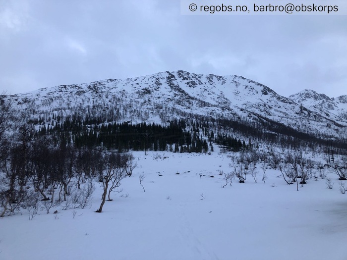
Image 1 of 19 Of: Snow Cover Copyright: barbro@obskorps
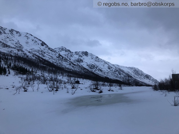
Image 2 of 19 Of: Snow Cover Copyright: barbro@obskorps
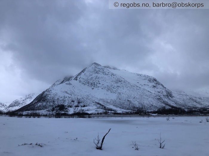
Image 3 of 19 Of: Snow Cover Copyright: barbro@obskorps
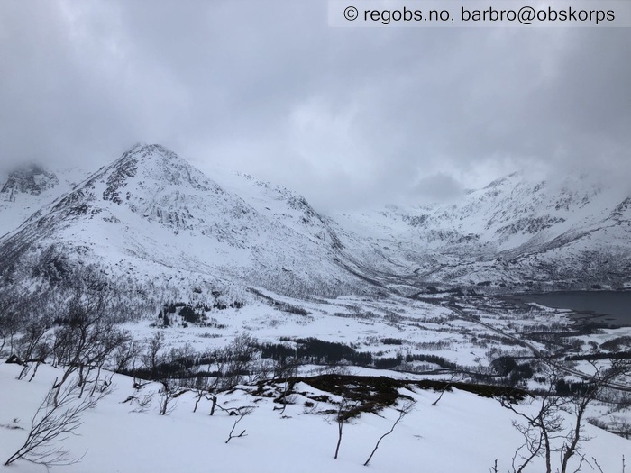
Image 4 of 19 Of: Snow Cover Copyright: barbro@obskorps Comment: Mot V/NV
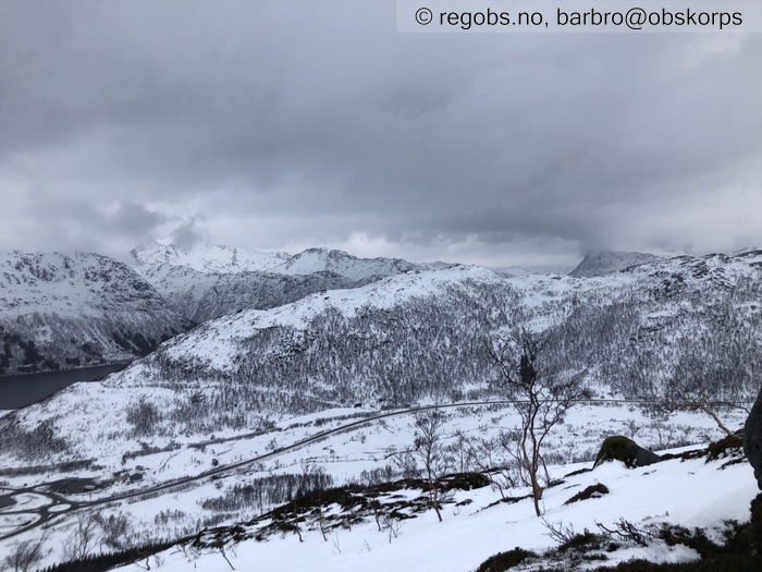
Image 5 of 19 Of: Snow Cover Copyright: barbro@obskorps Comment: Mot N
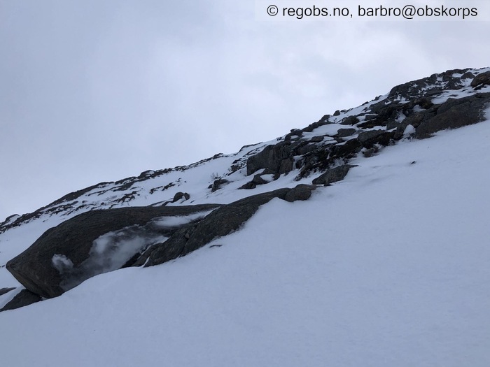
Image 6 of 19 Of: Snow Cover Copyright: barbro@obskorps Comment: Beskjeden isdannelse på 400moh.
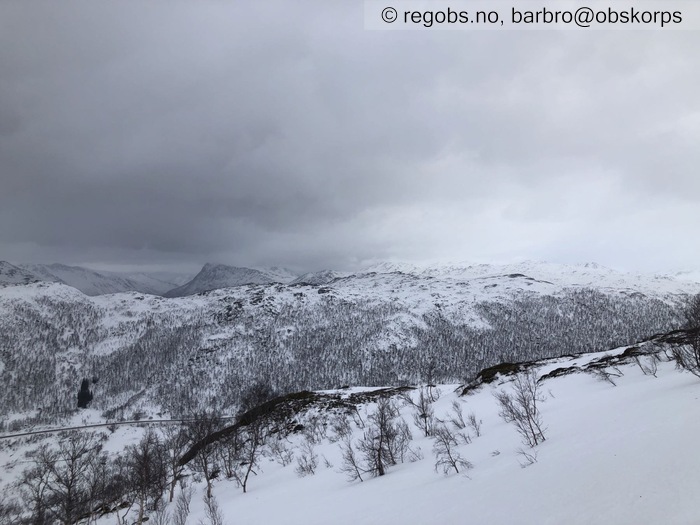
Image 7 of 19 Of: Snow Cover Copyright: barbro@obskorps Comment: Mot N
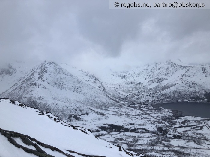
Image 8 of 19 Of: Snow Cover Copyright: barbro@obskorps
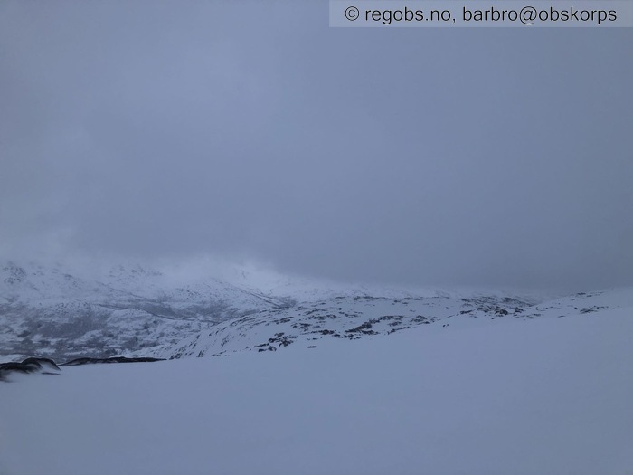
Image 9 of 19 Of: Snow Cover Copyright: barbro@obskorps Comment: Mot S - Strandtinden i lavt skydekke
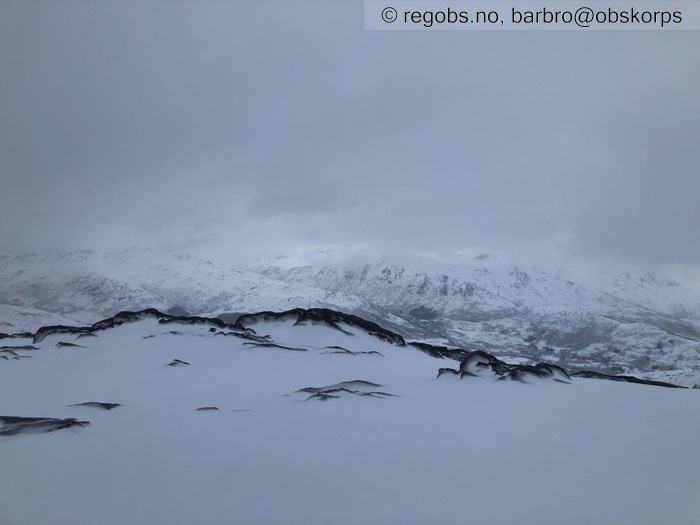
Image 10 of 19 Of: Snow Cover Copyright: barbro@obskorps
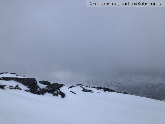
Image 11 of 19 Of: Snow Cover Copyright: barbro@obskorps
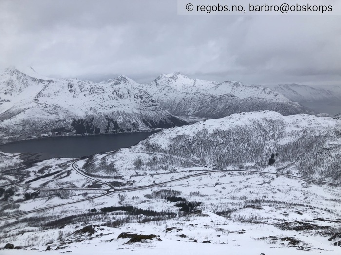
Image 12 of 19 Of: Snow Cover Copyright: barbro@obskorps Comment: Mot NV
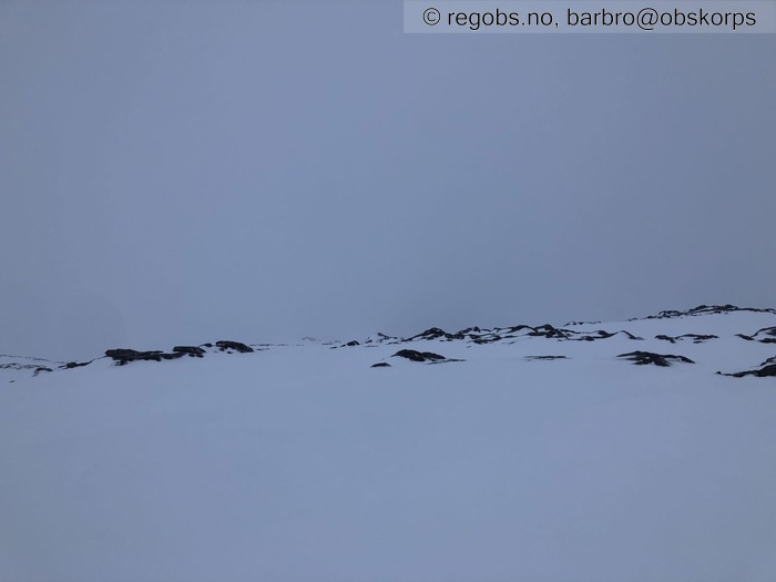
Image 13 of 19 Of: Snow Cover Copyright: barbro@obskorps Comment: Toppen av Middagsfjellet forsvant i det øyeblikket bildet ble tatt.
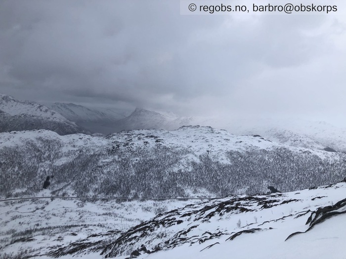
Image 14 of 19 Of: Snow Cover Copyright: barbro@obskorps Comment: Mot N
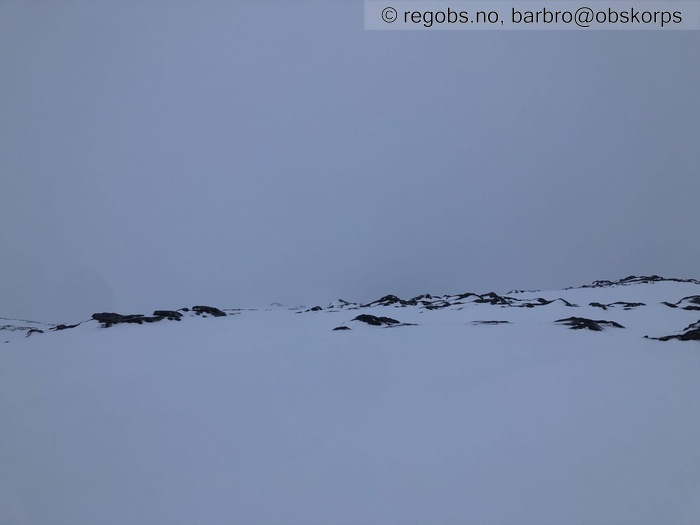
Image 15 of 19 Of: Snow Cover Copyright: barbro@obskorps
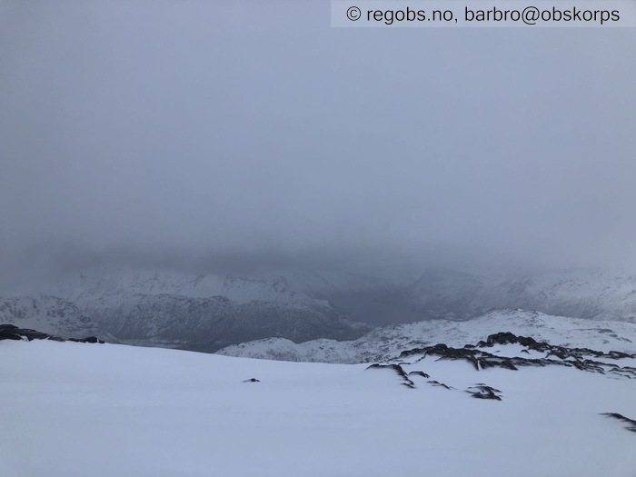
Image 16 of 19 Of: Snow Cover Copyright: barbro@obskorps Comment: Tett skydekke
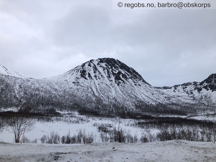
Image 17 of 19 Of: Snow Cover Copyright: barbro@obskorps Comment: Mot N - Kustøtinden
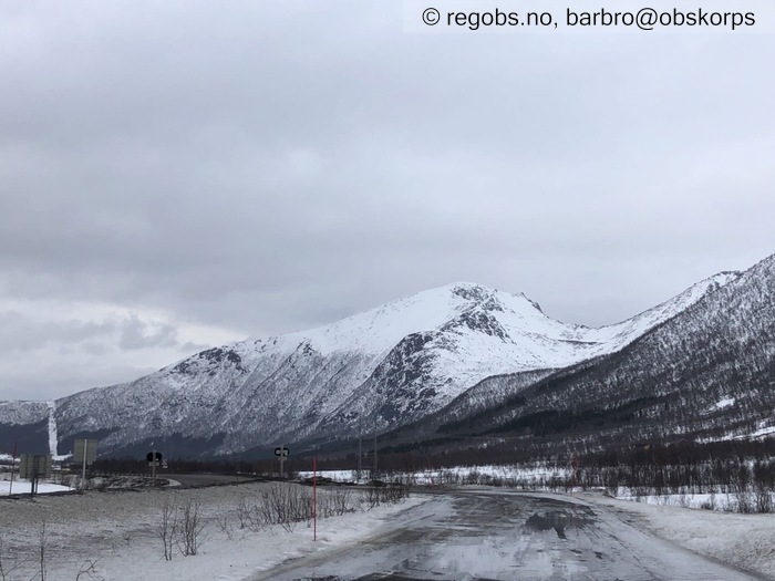
Image 18 of 19 Of: Snow Cover Copyright: barbro@obskorps Comment: Mot NV - Blåheia
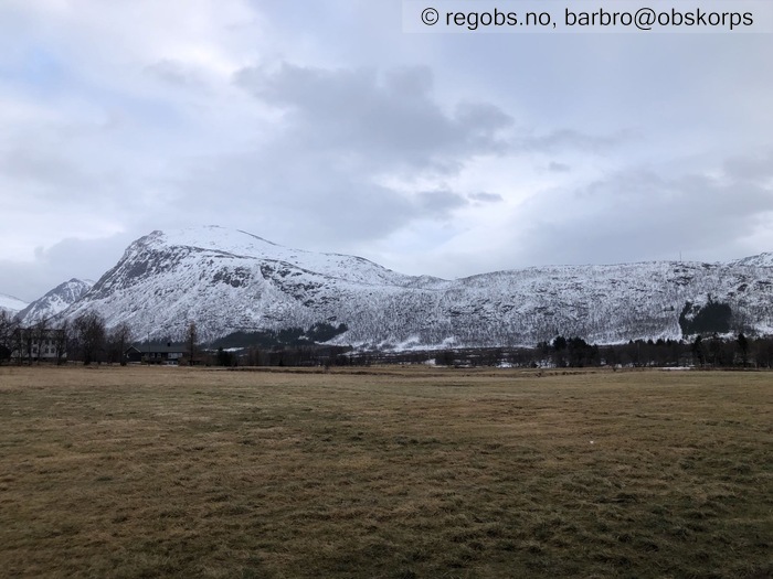
Image 19 of 19 Of: Snow Cover Copyright: barbro@obskorps Comment: Mot Ø - Blåheia
Avalanche Activity
• 14. Feb. During the day (+01:00) • No avalanche activity • Flere gamle små snøskred observert i Kjerringnesdalen, men "noen dager" gamle.
Weather
• No precipitation • 1 °C • 8 m/s from SW ↗ • 100% clouds • En liten regnskur kl.1030, ellers opphold (på 600moh var det akkurat i overgangen til snøbyge; små nåler som smeltet med en gang). Mildere på observasjonspunkt i dag enn på fredag (https://www.regobs.no/Registration/328702).
Snow Cover
• No snowdrift • Elevation of new snow 900 masl. Snow line at 0 masl. Layered snow begins at 900 masl • Wet loose snow • Moist • Bad • Total snødybde varierer mye. Vårlige forhold med enda tynnere snødekke i Lofoten, på Hadseløya, Langøya og Andøya. På Hinnøy noe mer snø øst i regionen, men fortsatt lite for årstiden. I fjellet også ujevn fordeling med mest N/Ø/SØ. Målte over 4meter snø i NØ- vendt fjellside.
Under tregrensa og opp til 400moh er snødekket gjennomfuktet. Antydning til vannriller enkelte steder. Snøoverflaten er 4cm med fuktige smelteformer (F). Over tregrensa stor variasjon i snøoverflaten, fra smelteformer (F) til myk skare til hard skare/is. På 500moh finner man et topplag med fuktige smelteformer, og under dette kram snø (RG). Over 600moh enkelte lesider med løsere fokksnø (F) (skjult under det øverste laget med fuktige smelteformer) men også denne snøen er kram (ikke avklart hvor høyt snødekket er kramt).
På grensen til "luggeføre" under tregrensa.
Avalanche Problems
• Loose snow • På de høyeste toppene vil det kunne være lagdeling og skredproblemene nedføyket løs nysnø, evt dårlig binding i fokksnøen.
Avalanche Danger Assessment
• Store deler av regionen har lite snø og et snødekke som er gjennomfuktet/stabilisert av mildværet. Øst på Hinnøya mer snø, men også her er snødekket preget av mildværet. Over 900moh at snødekket mindre preget av mildværet, og inneholder flere fokksnølag. • 1 Low • Forecast too high • Antar at omfanget av skredfaren tilknyttet de høyeste toppene er begrenset, og ikke kan rettferdiggjøre å holde faregraden på FG2.

